Near me or by area? How to use a Da Lat tourist map
This guide is for independent travelers visiting Da Lat, whether you're already in the city or planning your trip from abroad. It explains how to locate attractions, find places close to your hotel, and decide which stops make sense to visit together.
By Da Lat LoversPublished Updated
Start by opening the Da Lat tourist map and finding one place you definitely want to visit, then look at the other pins around it before adding more stops. The map filters locations by category, groups them into six geographical areas, and has a "Near me" button for places close to where you're standing. Before putting two attractions into the same morning or afternoon, open Google Maps and check the driving route.
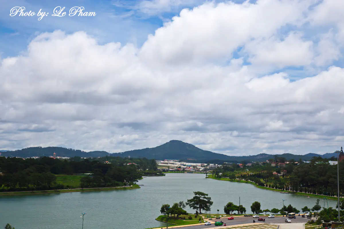
- Xuan Huong LakeSights · distance reference pointThe heart of town; the loop around the lake is about 5 km and prettiest at dawn.
- Former Teachers’ College (Lycée Yersin)Sights · 450 m109 Yersin St, still a working school: avoid class hours, ask the guard.
- Da Lat Railway StationSights · Transport · 750 mThree-gabled station and national heritage site; the tourist train to Trai Mat starts here.
- Da Lat Flower GardenSights · 750 mFlower park on the north shore of the lake, easy for kids and older travelers.
- Lam Vien SquareSights · 800 mGlass artichoke and wild-sunflower domes by the lake, best after dark.
- Bui Thi Xuan food streetFood & coffee · 950 mMeatball baguettes, avocado ice cream, grilled rice paper and snails.
- Palace IISights · 1.1 kmThe former Governor-General’s palace off Tran Hung Dao St; not always open, ask first.
- Da Lat MarketSights · Food & coffee · 1.3 kmThe central market: food stalls by day, dried specialties to take home.
- Da Lat Night MarketFood & coffee · Sights · 1.3 kmOpens around dusk by the Nguyen Thi Minh Khai steps: sweaters, grilled snacks, hot soy milk.
- Lam Dong MuseumSights · 1.3 km4 Hung Vuong St; good for rainy days and families with older kids.
- Linh Son PagodaSights · 1.4 km120 Nguyen Van Troi St, about 700 m from the market, free.
- Hotel streets by the marketStay · 1.4 kmNguyen Chi Thanh, Phan Boi Chau and Nam Ky Khoi Nghia: dense with budget hotels, walkable.
- Phan Dinh Phung food streetFood & coffee · 1.5 kmGrilled pork rolls, noodle soup and home-style rice for lunch and dinner.
- Tang Bat Ho food streetFood & coffee · 1.5 kmBanh can and chicken rice rolls in the morning, soy milk at night.
- Chicken Church (Da Lat Cathedral)Sights · 1.6 km13 Tran Phu St, free; a working church, so avoid Mass times.
- Hai Ba Trung food streetFood & coffee · 1.7 kmChicken hotpot with e leaves, stuffed snails and barbecue for dinner.
- Da Lat intercity bus stationTransport · 2.1 km1 To Hien Thanh St at the top of Prenn Pass; many operators drop off at their own offices.
- Domaine de Marie ChurchSights · 2.1 kmPink-walled church on Mai Anh hill, 1 Ngo Quyen St.
- Hoang Dieu food streetFood & coffee · 2.2 kmMeatball baguettes, chicken rice, grilled rice paper and beef hotpot in the alleys.
- Crazy House (Hang Nga Guesthouse)Sights · 2.3 km3 Huynh Thuc Khang St; narrow, steep stairs, not for anyone afraid of heights.
- Palace ISights · 2.3 kmReopened on June 15, 2026 with free entry; grounds of about 16 ha.
- Palace III (Bao Dai’s Summer Palace)Sights · 2.7 km1 Trieu Viet Vuong St; mostly indoors, good on rainy days.
- Cable car station (Robin Hill)Transport · Sights · 2.5 kmTop of the 2,267 m cable car line, about 12 minutes one way down to Truc Lam.
- Cable car station (Truc Lam)Transport · 4.7 kmLower end of the cable car, next to Truc Lam Monastery and above Tuyen Lam Lake.
- Truc Lam Zen MonasterySights · 4.8 kmOn Phung Hoang hill above Tuyen Lam Lake; dress modestly and keep quiet.
- Datanla WaterfallSights · 4.9 kmOn Highway 20 at Prenn Pass, with an alpine coaster; check the pass before you go.
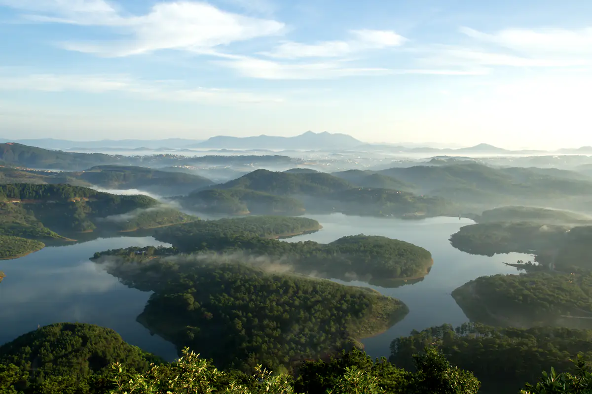
- Tuyen Lam LakeSights · 6.6 kmA lake of about 320 ha in the pines, some 7 km from the center.
- Pinhatt PeakCloud hunting · 7.6 kmAbout a 3-hour hike from near Tuyen Lam Lake; go with someone who knows the trail.
- Clay Tunnel (Sculpture Tunnel)Sights · 8.0 kmInside the Tuyen Lam Lake area, about 13 km from Da Lat Market.
- Berry Valley HomestayStay · 3.7 kmWooden homestay with a strawberry greenhouse on Thanh Mau St; pin placed by street only.Approximate location (street only)
- Valley of LoveSights · 3.7 km3-5-7 Mai Anh Dao St; suits couples, families and first-timers.
- Da Phu HillCloud hunting · 6.4 kmA close-in cloud-hunting hill toward Ankroet; slippery dirt slope, no fixed services.
- K’Ho CoffeeFood & coffee · 8.2 kmFarm and roastery at the foot of Lang Biang, with coffee-making tours.
- Langbiang Mountain (Radar Hill)Sights · Cloud hunting · 10.4 kmThe park entrance is about 12 km from the center. Vehicles up to Radar Hill start at 7:30 a.m., so a regular ticket won’t get you there for sunrise.
- Dankia - Suoi Vang lakesSights · 10.6 kmAbout 20 km north; a drinking-water reservoir, so no swimming or littering.
- Cu Lan VillageSights · 13.0 kmAbout 20 km out; a forest village by a stream, avoid wading after heavy rain.
- Binh Minh Oi CaféFood & coffee · Cloud hunting · 2.2 km89 Hoang Hoa Tham St, a sunrise-and-clouds café that opens early.
- Than Tho LakeSights · 3.6 kmIn Lam Vien ward, about 6 km out; the old pine forest is not what old photos show.
- Cheo Veooo CaféFood & coffee · Cloud hunting · 3.7 km116 Hung Vuong St, a hillside café for sunsets, about 4-5 km from the market.
- Linh Phuoc Pagoda (Bottle Pagoda)Sights · 5.5 km120 Tu Phuoc St in Trai Mat, about 8 km from the center; free.
- Trai Mat StationTransport · 5.7 kmEnd of the tourist train line from Da Lat; walk on to Linh Phuoc Pagoda.
- Cau Dat tea hillsCloud hunting · Sights · 14.3 kmAbout 20-25 km southeast; best at dry-season sunrise, the busiest cloud-hunting spot.
- Van Thanh flower villageSights · 3.7 kmWest of the center; working family gardens, ask before you walk in.
- Me Linh Coffee GardenFood & coffee · 12.2 kmCafé, garden and weasel-coffee area in Cam Ly ward; check the menu first.
- Lien Khuong AirportTransport · 24 kmAbout 30 km from the center, reopened on August 19, 2026.
- Samten Hills DalatSights · 28 kmA Buddhist complex in Don Duong, about 35-44 km from the center depending on the source.
- Pongour WaterfallSights · 35 kmOn the Da Nhim River about 50 km south; stay off the rock tiers in the wet season.
What's included in the Da Lat tourist map for 2026?
The current map contains 48 locations, ranging from the streets around Xuan Huong Lake to Tuyen Lam Lake, Langbiang Mountain, Cau Dat, Ta Nung, and farther destinations such as Pongour Waterfall.
The Da Lat tourist map is interactive, not simply an image with names printed on it: pick a category, click a location to see where it sits, and open Google Maps for directions. Instead of hunting through dozens of labels on a crowded map, you narrow down what appears on the screen.
At the top of the map, you'll find five category filters:
| Filter on the map | What it helps you find |
|---|---|
| Sights | Lakes, waterfalls, churches, landmarks, and sightseeing areas |
| Food & coffee | Coffee shops, dining areas, and streets known for food |
| Cloud hunting | Hills, sunrise viewpoints, and places often visited for cloud watching |
| Stay | Hotels, homestays, and accommodation areas included in the map |
| Transport | Railway stations, bus terminals, the airport, and other transport connections |
Click "All" to display all 48 locations.
Some places belong to more than one category. For example, Da Lat Railway Station is both a sightseeing attraction and a transport location. The Cau Dat tea hills appear under both Sights and Cloud hunting. A place that turns up under two filters simply fits both; it's still one attraction.
Below the interactive map, you'll find a location list organized by geographical area. On a phone the list is often easier than the map, since zooming in and out to read individual pins gets tiresome.
The 48 locations are a curated selection for planning a trip. They do not represent every restaurant, hotel, or attraction in Da Lat. Somewhere you want to visit may be missing simply because it wasn't selected, not because it has closed or isn't worth considering.
How to find an attraction on the map
Suppose you've already written down three places: Da Lat Railway Station, Linh Phuoc Pagoda, and Tuyen Lam Lake. Before arranging them into a route just because they sit next to each other on your checklist, find out where they actually are.
Step 1: Select the Sights filter
Click "Sights" to focus on sightseeing locations.
Leave the Food & coffee and Stay filters off when you're simply trying to understand where an attraction is located; fewer categories on screen make the area around each pin easier to read. For a place you can't fit into a category, keep "All" selected and use the list below the map.
Step 2: Find the location in the list
The list is divided into six areas, which is much quicker than checking every pin.
Da Lat Railway Station belongs to the central area around Xuan Huong Lake. Linh Phuoc Pagoda is in the eastern area toward Trai Mat. Tuyen Lam Lake is in the southern area. That already gives you one useful piece of information: these three places aren't all in the same cluster.
Step 3: Click "Show on map"
Each location has a "Show on map" button. Click it to focus the map on the selected pin and open its information card, then look at the roads, lakes, residential areas, and other locations around it.
Whether a pin sits north or south of Xuan Huong Lake matters less than the roads linking the city center to it. Two places farther out along the same road may be easier to combine than two places on opposite sides of the city.
Step 4: Return to the full map
After examining an area, click "Show all" to zoom the map back out to every pin in the filter you have selected.
This button only controls the map's viewing area. It is different from "All," which controls which categories of locations are displayed.
Repeat these steps for the places on your checklist. After a few, you'll start to see which ones share the same general direction and which require a separate journey.
Understanding distances on the Da Lat tourist map
Each location has a distance shown beside its name, usually in kilometers, and that number needs some explaining.
Xuan Huong Lake itself is labeled "distance reference point" on the map.
A few of the figures you'll see in the list:
| Location | Straight-line distance from Xuan Huong Lake |
|---|---|
| Da Lat Railway Station | 750 m |
| Lam Vien Square | 800 m |
| Da Lat Market | 1.3 km |
| Truc Lam Zen Monastery | 4.8 km |
| Tuyen Lam Lake | 6.6 km |
| Langbiang Mountain (Radar Hill) | 10.4 km |
| Cau Dat tea hills | 14.3 km |
| Lien Khuong Airport | 24 km |
| Pongour Waterfall | 35 km |
These figures are useful for understanding the general location of an attraction relative to central Da Lat.
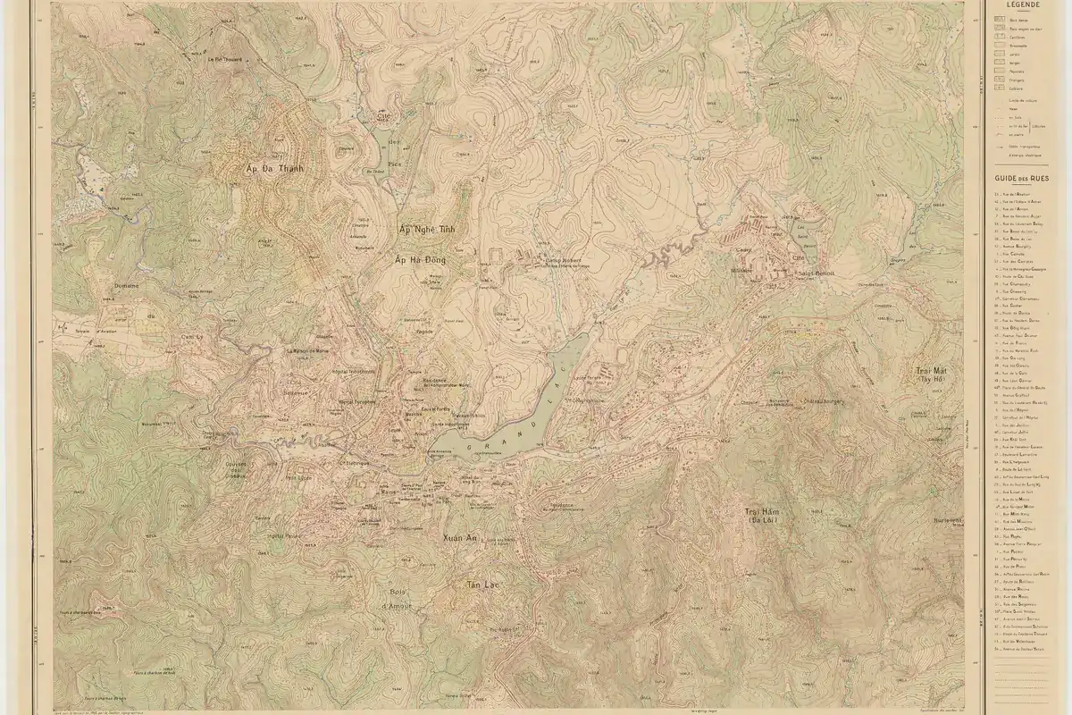
What these figures can't give you is the travel distance. The Cau Dat tea hills, for instance, are about 14.3 km from Xuan Huong Lake in a straight line, while the road from central Da Lat runs around 20-25 km, depending on your starting point and chosen route. Pongour Waterfall is about 35 km away in a straight line, but around 50 km by road.
Da Lat is surrounded by hills, valleys, lakes, and winding roads. Two pins may look close together even when reaching one from the other requires a substantial detour.
No reliable multiplier converts straight-line distance into driving distance across Da Lat either. Some roads run fairly direct; others curve around hillsides or connect to major roads far from the apparent shortest path.
For a usable estimate, open the route in Google Maps and check the total road distance, estimated travel time, and the type of transport you're planning to use. Walking, motorcycle, and car routes may differ.
How to use the "Near me" button
The "Near me" button earns its place once you've arrived in Da Lat. Perhaps you've checked into your hotel and want something nearby, or you've finished one attraction and want another stop without crossing the city. Sorting the list by where you are saves scrolling through all 48 locations.
How to activate Near me
- Open the tourist map on your phone or computer.
- Click "Near me."
- When your browser requests location permission, allow it if you're comfortable sharing your location with the browser feature.
- The list will be sorted by distance from your current position under "Closest to you."
- Select "Show on map" for any location you want to examine.
That covers how this map handles your location. Google Maps and any other app you open from it follow their own privacy settings and data-processing practices.
What happens if you deny location access?
You can still use the map. The list simply keeps Xuan Huong Lake as the distance reference point, and the category filters, location pins, and directions links all work as usual.
Near me isn't a shortest-route planner either. It sorts locations by how close their coordinates are to yours, so the top pin may not be the quickest place to reach.
You might be on one side of a lake or hill while the attraction is on the other: a short straight line, but a road that takes you around the obstacle. Check the route before leaving.
When is Near me useful?
Near me works particularly well when you're already at your hotel, sitting in a café, arriving at a transport terminal, or looking for somewhere to visit during a free afternoon.
Planning from Singapore, Bangkok, Hanoi, or another city is a different story: the feature uses your current location there, not your future hotel in Da Lat. From abroad, the six geographical areas do more for you, along with your intended hotel address entered as the starting point in Google Maps.
The six areas on the Da Lat attractions map
The location list is organized into six geographical areas. These groups help travelers combine places in the same direction. They are not official administrative boundaries or districts. Use them to narrow your choices before checking actual routes.
Center, around Xuan Huong Lake
Easiest area for first-timers and walkers
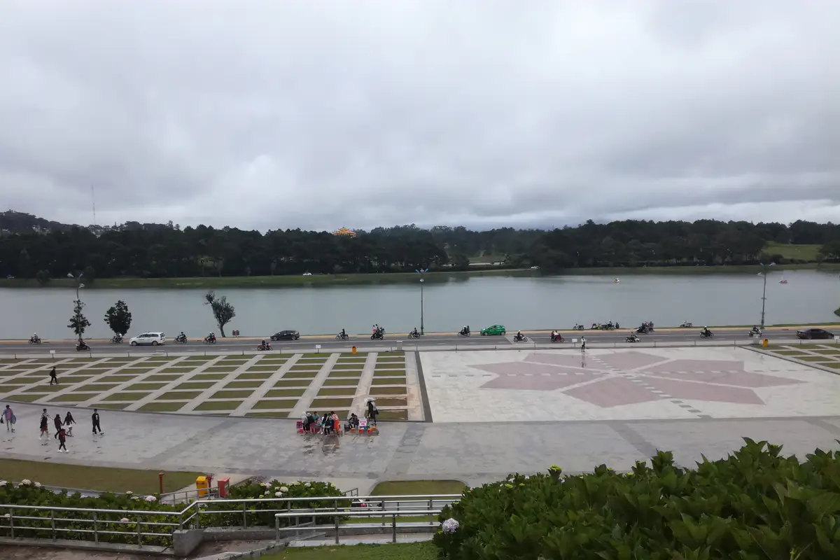
This area includes many of Da Lat's best-known attractions, cafés, hotels, and food streets.
Locations on the map include Xuan Huong Lake, Lam Vien Square, Da Lat Railway Station, Da Lat Flower Garden, Da Lat Market, Da Lat Night Market, the Chicken Church (Da Lat Cathedral), Crazy House, and several historic residences.
It suits first-time visitors, travelers without a motorcycle, and families who prefer shorter journeys.
Not every attraction in the central group is comfortable on foot, though. Walking around Lam Vien Square and parts of the lakeside is straightforward; adding Crazy House or Bao Dai's Summer Palace may mean a longer walk with some uphill sections.
Guests staying around Nguyen Chi Thanh, Phan Boi Chau, or the market area are better off checking the walking route before ordering a taxi to nearby attractions. For some short hops, walking beats waiting for a car to reach you.
South: Prenn and Tuyen Lam Lake
Cable car, Truc Lam, Datanla
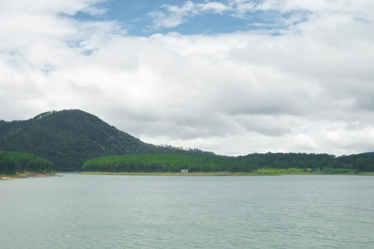
The southern area includes the Robin Hill and Truc Lam cable car stations, Truc Lam Zen Monastery, Datanla Waterfall, Tuyen Lam Lake, Pinhatt Peak, and the Clay Tunnel.
It's the group to check for trips toward Prenn Pass or time spent around Tuyen Lam Lake.
Truc Lam Zen Monastery and Tuyen Lam Lake belong to the same general area, but the entrance you need may be some way from the pin representing the lake.
Taking the cable car from Robin Hill toward Truc Lam means working out how you'll get back to your parked vehicle, or travel on, once you reach the other station. Your motorcycle or car stays where you left it, not at the end of the ride.
North: Lang Biang and Dankia
Langbiang, Dankia, Da Phu Hill
The northern group includes the Valley of Love, Da Phu Hill, K'Ho Coffee, Langbiang Mountain, the Dankia - Suoi Vang lakes, Cu Lan Village, and Berry Valley Homestay.
When looking at this area, distinguish between attractions close to main roads and those deeper in the hills or valleys.
Langbiang and Dankia are both north of central Da Lat, yet no single direct road links every attraction around them. To combine two places, check the road between them and the journey back to your hotel.
At cloud-hunting spots such as Da Phu Hill, the road surface, weather, and access conditions all matter. A pin on a map does not confirm that a dirt track is currently passable or suitable for every vehicle.
East: Trai Mat and Cau Dat
Trai Mat Station, Linh Phuoc, tea hills
The eastern area includes Binh Minh Oi Café, Than Tho Lake, Cheo Veooo Café, Linh Phuoc Pagoda, Trai Mat Station, and the Cau Dat tea hills.
This direction is relatively easy to recognize on the map. Roads lead east from central Da Lat through the Hung Vuong and Trai Mat areas, continuing toward Cau Dat.
Trai Mat Station and Linh Phuoc Pagoda are worth checking together because both are in the Trai Mat area, while the Cau Dat tea hills are considerably farther east.
Anyone taking the tourist train from Da Lat Railway Station to Trai Mat should locate both stations first. The road distance shown on the map isn't the length of the train ride.
Cloud-hunting locations around Cau Dat may also have different access roads. Each viewpoint in the Cloud hunting category has its own entrance and visiting conditions.
West: Van Thanh and Ta Nung
Van Thanh flower village, Me Linh Coffee Garden
The western group includes Van Thanh flower village and Me Linh Coffee Garden.
Both are west of central Da Lat, but their distances from Xuan Huong Lake are quite different.
Van Thanh flower village is listed at approximately 3.7 km in a straight line, while Me Linh Coffee Garden is around 12.2 km away, so being in the same geographical group doesn't put the two within walking distance or a quick drive of each other.
Open directions from Van Thanh flower village to Me Linh Coffee Garden and check the road continuing toward Ta Nung. If the route works and you have enough time, the two may fit into the same outing.
Further out: Don Duong, airport, Pongour
Lien Khuong Airport, Samten Hills, Pongour
This group includes Lien Khuong Airport, Samten Hills Dalat, and Pongour Waterfall.
What these locations have in common is their distance from the city center; they aren't close to each other.
Lien Khuong Airport is a transport hub rather than a sightseeing attraction. Its pin is there to help you plan the transfer to or from your accommodation.
Samten Hills is in the Don Duong direction, while Pongour Waterfall lies far to the south. Both require a longer journey from central Da Lat, yet they don't naturally belong on the same route.
Check the journey from your hotel to each location separately, then the route between them.
How to tell whether two attractions fit into the same morning or afternoon
One of the most useful questions to ask while reading a Da Lat tourist map is whether two places are genuinely convenient to visit together. A few checks in the right order will answer it.
First, identify your starting point, usually your hotel. Then choose the main attraction you definitely want to visit. Finally, check nearby locations and open the route between them.
Here are three examples.
Example 1: Xuan Huong Lake - Lam Vien Square - Da Lat Market
All three are in the central area, so they fit in one map view; from there, check a walking route from your hotel to the first stop.
Travelers staying centrally may find them relatively easy to combine, but the exact hotel location still matters. From a steep street farther uphill, the walk may be longer than the map first suggests.
With only a short window of free time, start with this cluster.
Example 2: Da Lat Railway Station - Trai Mat Station - Linh Phuoc Pagoda
These places follow the general direction toward Trai Mat.
Begin by locating Da Lat Railway Station near the city center. Then find Trai Mat Station and Linh Phuoc Pagoda farther east.
Tourist train timetables and ticket availability have to be checked with the operator; the tourist map shows locations, not live train schedules. Drivers and riders can open Google Maps to check the road between the locations.
Example 3: Truc Lam Zen Monastery - Tuyen Lam Lake - Clay Tunnel
All three belong to the southern group, around Tuyen Lam Lake and the surrounding hills. Their access roads and entrances may still differ depending on where you're going and which vehicle you're using.
Open directions from Truc Lam Zen Monastery to the specific lake location you want to visit, then check the onward route to the Clay Tunnel. That gives a more realistic picture than eyeballing three nearby pins.
What do the three buttons for each location do?
Each location includes options for viewing its position, opening directions, and reading more information. "Show on map" and "Read the guide" sit in the list, while "Directions" appears on the information card that opens when you select a pin. Each one does a different job.
"Show on map"
This button focuses the map on the selected location and displays its information card. Use it to see which side of the city a place is on, what roads surround it, and whether other locations are nearby. It's the best first step while you're still deciding where to go.
"Directions"
Click "Directions" on the information card to open Google Maps for that location.
Check the starting point and destination before going further, because Google Maps won't always pick your hotel or the exact place you're standing.
Choose your preferred transport mode, such as driving, motorcycling, or walking, depending on the options available for the area, and check the total distance and estimated travel time once a route appears.
Google Maps may show a main route in blue and alternative routes in gray; tap a gray one to compare. From another city or country, swap the starting point for your hotel address in Da Lat.
Google Maps also lets you add stops for compatible route types, handy for comparing the whole journey from your hotel through two attractions instead of checking each leg on its own.
"Read the guide"
The "Read the guide" button opens the article about the selected location: its own guide where one exists, or its section in a broader guide to Da Lat.
Use it when you need to understand what the attraction offers, whether it suits your travel group, and what you should know about reaching or visiting it.
The map itself only carries short notes to tell one place from another; it isn't meant to provide complete ticket prices, opening hours, or temporary operational updates.
Paid attractions and transport services with fixed schedules need a check of the latest information before you go. A pin only shows where a place is, not whether it's open at the moment.
What if a location is marked as approximate?
Some places do not yet have coordinates precise enough to identify their exact entrance or building.
These locations are labeled:
"Approximate location (street only)"
They also provide a "Search Google Maps" button on their information card. It replaces "Directions" and searches by business name and address instead of the pin's coordinates.
This warning matters most for homestays, accommodation areas, street-based locations, or businesses with similar names. An approximate homestay pin, for example, is placed along its street and doesn't mark the property's entrance.
Before traveling there, open the result in Google Maps and check the business name, address, and other identifying details. Compare a hotel's address with your booking confirmation; with cafés, make sure you're opening the correct branch or business rather than the first result with a similar name.
Finding attractions close to your hotel
One of the first things worth doing once you've booked your accommodation is checking what's nearby. Suppose your hotel is on Nguyen Chi Thanh Street near Da Lat Market. You want to see what you can visit on your first afternoon without taking a long taxi ride.
Start by selecting "Stay" to look at the accommodation areas around the market. Your exact hotel may not be on the map, since it only lists selected accommodation locations and areas, so find its precise address in Google Maps.
Then return to the Da Lat tourist map and examine central attractions such as Da Lat Market, Xuan Huong Lake, Lam Vien Square, and the Chicken Church.
Once you've chosen two or three places, open directions and enter your hotel as the starting point.
Now the practical questions have answers: Is the market within a comfortable walking distance? How long does it take to reach the lakeside? Would a car be worthwhile for the next attraction?
The same method works for stays farther from the center, around Tuyen Lam Lake or the Langbiang area. Start each journey from your hotel, not from Xuan Huong Lake.
What if you haven't booked a hotel yet?
Work the other way round: choose two or three attractions you're certain you want to visit, see which part of the city they occupy, and compare accommodation with that in mind.
Travelers who want to walk around the market and lakeside should examine central accommodation areas. Those planning to spend much of their time around Tuyen Lam Lake may prefer accommodation closer to the lake, but should also consider the journey back into central Da Lat in the evening.
The map tells you where accommodation is located, not whether the rooms are quiet, the property has good service, or the access road suits larger vehicles.
Online Da Lat tourist map or PDF: which is better?
Many travelers search for a "Da Lat tourist map PDF" because they want something to save on their phone, share with friends, or print before leaving.
An interactive map and a PDF serve different purposes.
| Feature | Interactive online map | PDF map |
|---|---|---|
| Filter attractions, food, and accommodation | Yes | No, for a static PDF |
| Select pins and view location cards | Yes | Only information included in the saved file |
| Use Near me | Yes, with location permission | No |
| Open Google Maps directions | Yes | Not automatically unless links are included |
| View saved information without internet | Requires preparation | Yes, after saving |
| Print and make handwritten notes | Not its primary purpose | Convenient |
The interactive map is better for deciding where to go next; a PDF works as a fixed reference that won't change as you browse.
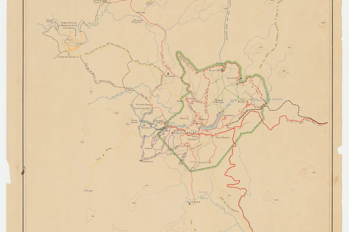
Can you download the Da Lat tourist map as a PDF?
The map has no PDF download button.
Your browser's print feature can save the page as a PDF, but what you get is a printout of the webpage rather than a specially designed tourist map.
On a computer, open Print, then select Save as PDF if that option is supported by your browser and operating system.
The result may include the location list without properly preserving the interactive map, its pins, or the current map view, so check the print preview before saving.
For just the area around your hotel, a screenshot after zooming into the right spot may be more practical than a long PDF of the entire page. A screenshot won't update routes, calculate driving times, or provide live directions, though.
Can you use the map without internet?
The interactive map relies on browser functionality and loaded map data, so opening it once won't give you full offline access.
Before traveling to more remote areas, save the names of your planned destinations, useful addresses, and relevant routes in a mapping application that supports offline use.
Google Maps offers downloadable offline maps for supported areas. Even after downloading an area, some features, such as live traffic information and certain transport-specific directions, may be unavailable without an internet connection.
A saved image or PDF remains useful for orientation, but it won't tell you whether a road has closed, a route has changed, or an attraction has temporarily stopped operating.
How international visitors can use the Da Lat map
International travelers searching for a "Dalat map for tourist" often encounter a simple problem: the English name used in travel articles may differ from the Vietnamese name shown on a map.
For example:
| English name | Vietnamese name |
|---|---|
| Xuan Huong Lake | Hồ Xuân Hương |
| Da Lat Railway Station | Ga Đà Lạt |
| Linh Phuoc Pagoda | Chùa Linh Phước |
| Tuyen Lam Lake | Hồ Tuyền Lâm |
| Da Lat Market | Chợ Đà Lạt |
| Chicken Church (Da Lat Cathedral) | Nhà thờ Con Gà |
Other names, such as Crazy House, Langbiang, and Pongour Waterfall, are relatively easy to recognize in both English and Vietnamese, though the exact location still needs a check.
The English version of the map lists places by their English names. Jotting down the Vietnamese name as well helps anyone in your group who doesn't speak Vietnamese talk to drivers or hotel staff.
Use the Directions button to open the matching location in Google Maps, especially for hotels, transport stations, and attractions with several entrances or similarly named businesses.
The map also helps with choosing an accommodation area before arriving; just remember that two places with similar English names can be different locations.
Common mistakes when using a Da Lat tourist map
Even with the correct map open, a few misunderstandings can make your itinerary unnecessarily complicated.
Using straight-line distance as driving distance
Say one attraction is listed at 5 km from Xuan Huong Lake and another at 6 km. It's tempting to conclude they're only 1 km apart.
Both measurements use the same reference point. The distance between the two attractions only shows up when you open a route from the first location to the second.
Assuming the same area means the same road
The "North: Lang Biang and Dankia" group shows the general direction of travel, not one continuous road through every location in it.
The same goes for the southern, eastern, and western areas. Check the actual route to see whether you'll need to backtrack, take a detour, or change direction.
Thinking the nearest attraction is always the fastest to reach
Near me sorts locations by geographical proximity and leaves out waiting for transport, one-way streets, turning restrictions, and traffic conditions. A place that's closer as the crow flies may take longer to reach.
Assuming every pin marks the exact entrance
Not all location coordinates are precise, and pins marked "Approximate location (street only)" need further checking.
For large attractions such as lakes, tourism complexes, or places with multiple entrances, even a correctly named location may not lead you to the entrance you intended to use.
Treating a map pin as confirmation that a place is open
Being on the map says nothing about whether a place is accepting visitors right now.
A café may change its opening hours. A tourist train may operate a different timetable. An outdoor attraction may restrict access because of weather or operational conditions.
This map is for understanding locations and directions. Current operating information should be checked separately.
Where does the 2026 Da Lat map get its data?
The map uses OpenStreetMap for its base mapping data, and location coordinates are referenced from OpenStreetMap and Wikidata.
Both are open data sources that contributors keep updating, but changes on the ground can take a while to reach the map, particularly for small cafés, homestays that have moved, or changes to attraction entrances.
The line at the bottom of the map shows when the coordinates were last checked. The figure of 48 locations reflects the tool's current dataset, and future versions may not contain exactly the same number of locations.
What happens if JavaScript is disabled?
The interactive map requires JavaScript. With it disabled, the location list stays available below the map: you can still read the listed places, see how they are grouped geographically, check their distance from Xuan Huong Lake, and open each place's article through the "Read the guide" links.
The filters, Near me, and selecting a pin to display its information card won't work. Enable JavaScript in your browser for the full interactive version.
Does this map replace Google Maps?
No.
The two work best together. The Da Lat tourist map helps you select places by category and geographical area, and Google Maps checks the actual roads, travel distances, and estimated journey times for your chosen mode of transport.
Skip transferring all 48 locations into Google Maps and open directions only for the places you've decided to visit. That keeps planning manageable and spares you a mapping app full of saved locations with no clear connection to your trip.
Four things to check before leaving your hotel
Once you've narrowed down your destinations, use these four questions to check whether the plan makes sense.
1. Which area is the first attraction in?
Is it in central Da Lat, south, north, east, west, or the farther-away group? This establishes the general direction of your journey.
2. Is the next attraction in the same direction?
Look at its position, then check the actual road between the two locations. The distance measured from Xuan Huong Lake alone won't tell you.
3. Does the route suit your transport?
Choose the appropriate transport mode in Google Maps. A route that looks short on a map may involve steep roads, winding sections, or conditions that aren't suitable for every traveler.
4. Have you confirmed the correct destination?
For a pin marked as approximate, check the name, street address, and entrance before setting off.
Check the route back to your hotel as well, particularly when visiting somewhere far from the city center.
If you don't have the correct motorcycle license or aren't comfortable riding on long mountain roads, choose an appropriate alternative, such as a car with a driver or a local easy-rider service. A destination only a few kilometers away on the map is no reason to pick a motorcycle.
For early-morning, late-afternoon, or remote journeys, weather and departure time can matter more than a small difference in distance.
When should you use an itinerary guide instead?
A tourist map answers where an attraction is located and whether it is close to other places. It leaves open how long to spend there, whether it's suitable for young children, which attraction should take priority, or which day of your trip is best.
Once you've identified locations that are convenient to combine, move to a Da Lat itinerary guide to arrange them into individual days.
For more places beyond the 48 pins, or to compare sightseeing options by direction, a broader guide to things to do in Da Lat is the better read. Both steps work better after you've identified your preferred destinations and understood their positions on the map.
Open the map, select "All", and click "Show on map" for the attraction you most want to visit. Find one more place in the same area, then use "Directions" to check the real route between them before adding both stops to your itinerary.
FAQ
How many locations are included in the Da Lat tourist map for 2026?
The map currently contains 48 locations across five categories: Sights, Food & coffee, Cloud hunting, Stay, and Transport. The location list is also divided into six geographical areas. Click "All" to display every available location.
Can I download a Da Lat tourist map PDF?
The interactive map has no PDF download button. You can use your browser's Print function and select Save as PDF, although the interactive map may not appear correctly in the saved file. For a small area around your hotel, a screenshot is often easier to use.
Does the Near me button save my location?
No. "Near me" requests location access only when you click it. Your coordinates are processed locally in the browser to sort nearby places; they are not sent to any server or stored by the tool. If you deny permission, the map remains usable with distances referenced from Xuan Huong Lake.
Are the distances on the Da Lat attractions map actual driving distances?
No. The default distances are straight-line measurements from Xuan Huong Lake. Actual road distances may be considerably longer because of hills, winding roads, and detours. Click "Directions" on a location's card to check the road distance between your hotel and an attraction, or between two attractions.
Can international tourists use this Da Lat map?
Yes. International travelers can view locations, use category filters, and open directions in Google Maps. The English version of the map lists places by their English names, so note the Vietnamese name and address as well when you need to show a driver where you are going.