Hike Langbiang Mountain: how to reach the 2,167m summit, choose a trail, and plan your time
2,167 metres is the elevation of Nui Ba Peak, the summit you need to hike through forest trails to reach. Allow around 6-8 hours for the trek, and confirm that the trail is officially open before setting out.
By Da Lat LoversPublished Updated
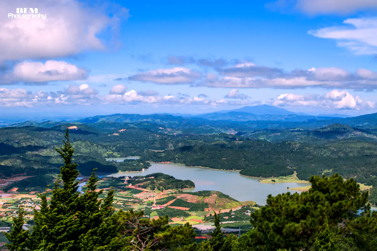
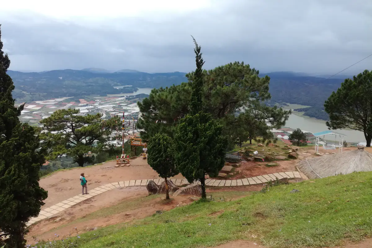
Dankia Lake and layers of hills seen from Langbiang.
From the entrance of Langbiang Tourist Area at 305 Langbiang Road, a tourist vehicle travels roughly 6 km to Radar Hill, at an elevation of 1,950 metres. But that is not Nui Ba Peak, the 2,167-metre summit that hikers are usually looking for. Reaching the actual summit requires walking through pine forests, mountain trails, and steeper sections of protected forest.
Understand the difference between Langbiang's 2,167m summit and Radar Hill
Langbiang is not a single isolated mountain. It is a mountain range north of central Da Lat, best known for Nui Ba Peak, Nui Ong Peak, and Radar Hill.
All three are frequently described simply as "Langbiang" in travel articles and tour listings. That makes it easy to book the wrong experience, especially if you are visiting for the first time.
Here are the three locations you need to distinguish:
| Location | Elevation | How to reach it | Best for |
|---|---|---|---|
| Nui Ba Peak | 2,167 m | Hiking on an officially permitted trail | Travellers who want a proper mountain hike |
| Nui Ong Peak | Approximately 2,124 m | Separate mountain trail; access must be confirmed | Experienced hikers |
| Radar Hill | 1,950 m | Tourist vehicle from the mountain entrance | Families, sightseeing, and short visits |
In this guide, hiking Langbiang Mountain primarily refers to reaching Nui Ba Peak at 2,167 metres.
Is Radar Hill the real Langbiang summit?
Radar Hill is part of Langbiang Tourist Area and is where most visitors arrive by tourist vehicle.
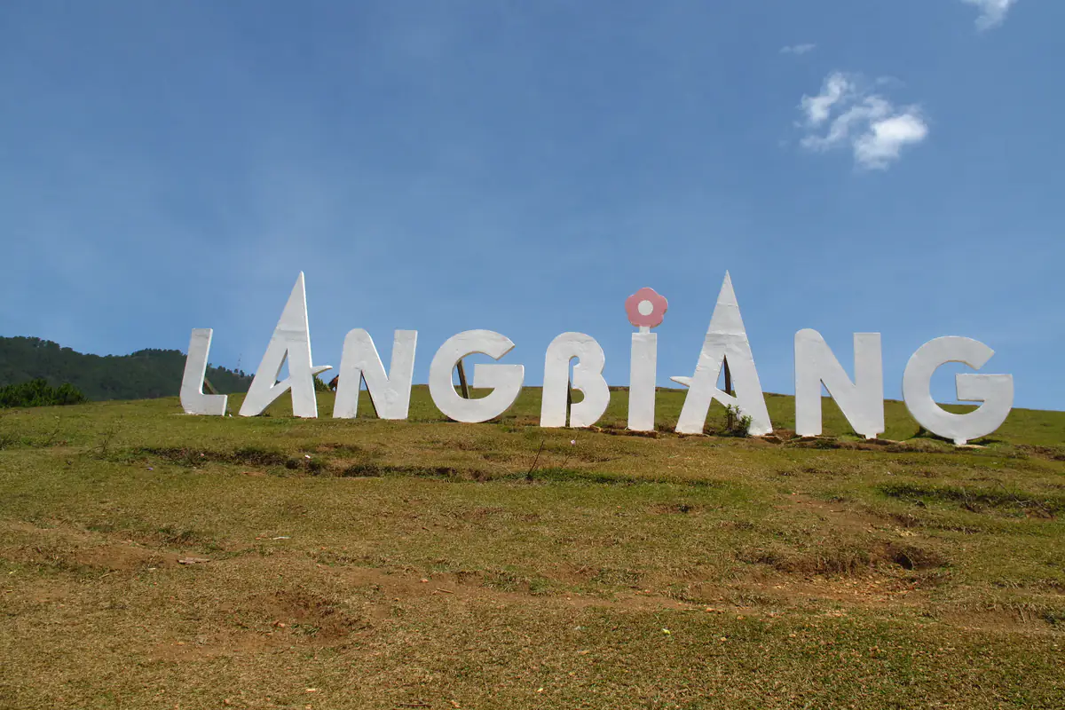
There are viewpoints, photography spots, and places to buy food and drinks. On a clear day, you can look towards Da Lat, Dankia Lake, and the Suoi Vang area.
The road leading up to Radar Hill was developed for tourist transport. It is not the hiking trail to Nui Ba Peak.
A ticket for the tourist vehicle does not take you to the 2,167-metre summit. Taking photographs at Radar Hill is a worthwhile sightseeing experience, but it is not the same as completing the Nui Ba Peak hike.
What makes the 2,167m summit different?
Nui Ba Peak is 217 metres higher than Radar Hill in terms of elevation above sea level. However, the two places are not connected by a short staircase that visitors can simply follow.
The hike to Nui Ba passes through several types of mountain terrain.
The lower sections can include relatively gentle paths, pine forest, and open areas. Higher up, the trail can become narrower, with exposed roots, damp soil, and steeper climbs.
There is an elevation marker reading Lang Biang 2,167 m at the summit.
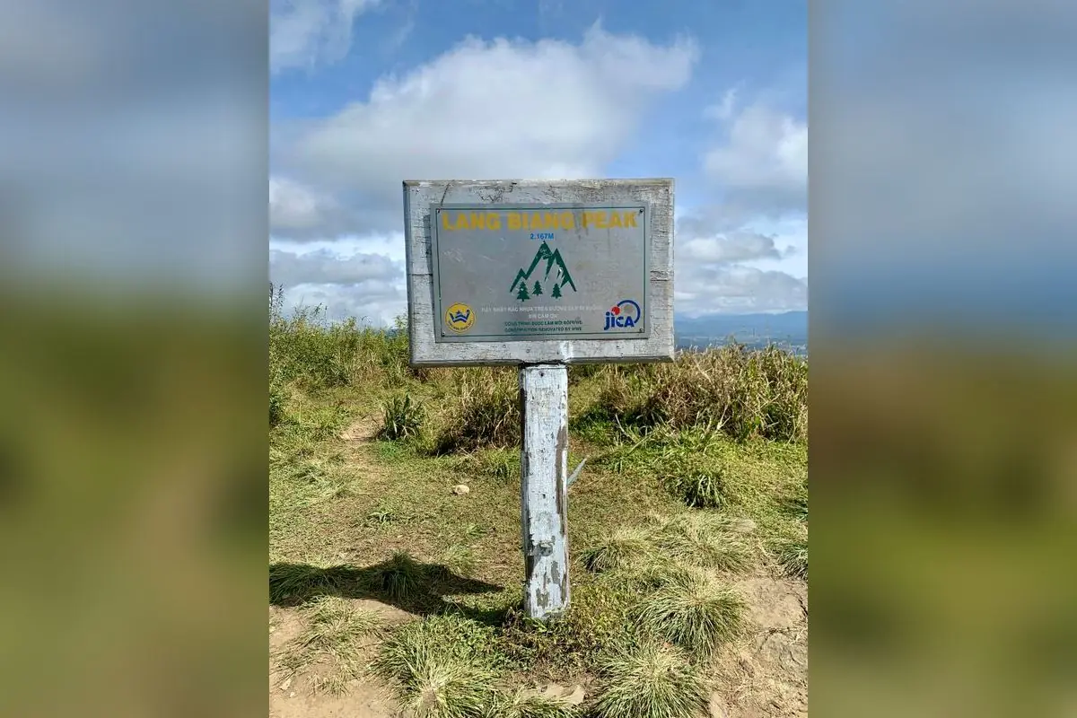
When the weather is clear, the views extend across the surrounding mountain ranges rather than focusing mainly on Da Lat city.
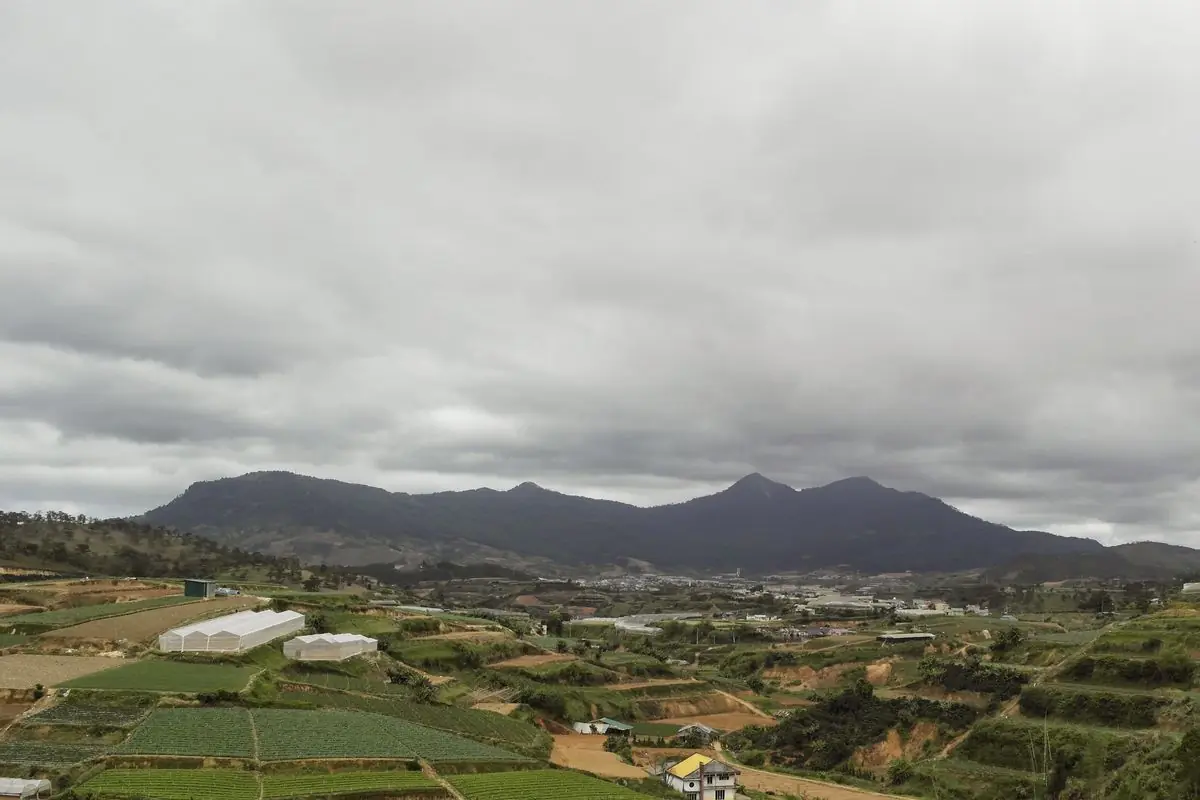
To get there, you need to prepare for a full day outdoors and confirm that the relevant trekking route is authorised to operate.
How many kilometres is the Langbiang Mountain hike?
There is no single distance that applies to every Langbiang hiking itinerary.
The total depends on the starting point, the descent route, and whether a tour operator uses the same trail in both directions.
Full-day trekking programmes usually cover about 11-14 km:
- About 11 km: 5.5 km from the starting point to Nui Ba Peak, 3 km descending towards a forest ranger station, and 2.5 km returning to the starting area.
- About 14 km: organised as a full-day guided activity.
So 11-14 km for the complete hike is a reasonable planning reference.
It is not the official fixed distance of every trail leading to the summit.
Why do some guides say Langbiang is only a 5-6 km hike?
Usually, the difference comes down to what is being measured.
Some guides count only the uphill section. Others measure from the point where the forest trail begins, excluding an earlier section of paved road.
Routes that descend along a different trail can also produce a longer total distance.
There is another important source of confusion.
The road from the mountain entrance to Radar Hill is approximately 6 km. That is the tourist vehicle route, not the hiking route to Nui Ba Peak.
A tour advertised as 6 km and another advertised as 14 km may offer completely different experiences.
Does a longer route always mean a harder hike?
Not necessarily.
Walking 6 km on a paved road may be technically easier than covering 4 km on a steep forest trail with loose soil, slippery roots, and uneven ground.
On Langbiang, gradient and trail conditions matter as much as distance.
Climbing demands stamina, while descending places repeated pressure on your knees and ankles.
Someone who comfortably walks 10 km on flat city streets may still find a 10 km mountain hike demanding.
How long does it take to hike Langbiang Mountain?
For the 2,167-metre Nui Ba summit, plan for a full day.
An itinerary of approximately 11 km usually takes 6-8 hours, including walking and rest stops.
Experienced hikers may finish faster, but their pace is not a sensible benchmark for someone attempting the route for the first time.
Here is a practical breakdown:
| Activity | Approximate time |
|---|---|
| Travel from central Da Lat to the mountain entrance | 25-40 minutes |
| Hike from the trail starting point to the summit | 3-4 hours |
| Rest, snacks, and photographs | 20-40 minutes |
| Descend from the mountain | About 2-3 hours |
| Total trekking time | Approximately 6-8 hours |
| Visit Radar Hill by tourist vehicle | Allow 2-3 hours, including waiting and sightseeing |
These hiking times are planning estimates, not guaranteed completion times.
Can you hike Langbiang in half a day?
For Nui Ba Peak, half a day is too rushed for most first-time hikers.
You need time to meet the group, complete any required access procedures, walk through steeper sections, rest at the summit, and descend safely.
Even a six-hour hike takes up most of the useful daylight available for the activity.
Do not schedule another three or four Da Lat attractions on the same day.
After several hours of climbing and descending, walking another few kilometres around the city is unlikely to be particularly enjoyable.
Radar Hill is different. You can visit in the morning or afternoon, then return to central Da Lat for a meal.
Suggested full-day Langbiang hiking itinerary
This is a sample schedule for travellers with average fitness, assuming the trail is officially open and the operator confirms the departure arrangements.
- 6:30 AM
Breakfast
Breakfast in Da Lat; check shoes and backpack
- 7:00 AM
Set off
Leave central Da Lat for Langbiang
- 7:30-8:00 AM
Meet at the entrance
Meet the guide and complete required procedures
- 8:00-11:30 AM
Climb
Hike along the permitted route
- 11:30 AM-12:00 PM
Summit break
Rest and have a light lunch at an approved stopping point
- 12:00-3:00 PM
Way down
Descend the mountain
- 3:00-4:00 PM
Back to town
Finish the hike and return to Da Lat
This is a suggested itinerary, not an official departure timetable.
The guide may adjust it according to weather, group fitness, and access regulations.
What matters is starting early enough to leave a comfortable margin for the descent.
What is the trail to Langbiang's summit like?
Langbiang Tourist Area is located towards the former Lac Duong area, approximately 12-15 km from Da Lat Market, depending on your exact starting point.
From central Da Lat, you can follow Phan Dinh Phung Street, turn onto Xo Viet Nghe Tinh, and continue along the Dankia road towards Langbiang.
This is the road used by cars and motorbikes travelling to the mountain entrance.
It should not be confused with the hiking trail through the forest.
- Stage 1
From the tourist area to the hiking starting point
Many guided tours meet near the foot of Langbiang Mountain.
The guide checks the group, confirms the route, distributes any provided supplies, and explains the itinerary.
Some programmes include a section of paved road before entering the pine forest. Others use different routes for the ascent and descent.
Ask the operator exactly where the hike begins.
Not every trekking programme starts walking directly outside the ticket counter.
For navigation, search for Langbiang Tourist Area, 305 Langbiang Road, Lang Biang - Da Lat Ward, Lam Dong Province.
Make sure the map points to the correct tourist area. Langbiang Tourist Area and Langbiang Land are different attractions.
- Stage 2
Pine forests and the lower mountain trail
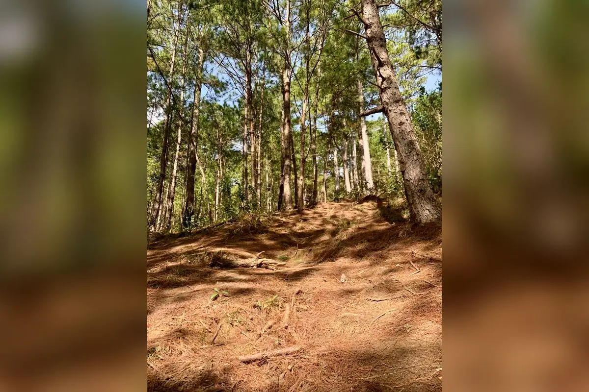
Once the route leaves the areas used by tourist vehicles, the landscape gradually changes into pine forest.
The ground may be covered with dry pine needles, reddish soil, and relatively moderate slopes.
On dry days, these sections can offer better traction. After rain, damp soil and exposed roots can make the path slippery.
The pine forest is one of the more pleasant parts of the hike, especially in the cool morning air.
However, this is not a reason to leave the group.
Forested areas may contain several small paths created by previous walkers. Taking the wrong turn can seem harmless at first, but the farther you go, the harder it may become to find the correct route back.
- Stage 3
Denser forest and steeper sections near the summit
The final climb towards Nui Ba Peak is often more physically demanding for inexperienced hikers.
The path may become narrow and steep, with natural steps formed by roots, rocks, or uneven soil.
The forest canopy is denser, and some sections remain damp even after the rain has stopped.
Keep a steady walking pace rather than using too much energy during the easier opening kilometres.
On steep sections, leave enough distance between yourself and the person in front.
When stopping to adjust your shoes or drink water, find stable ground rather than blocking a narrow section of trail.
Follow the guide's instructions at junctions, signs, and ranger checkpoints.
Do not leave the approved route simply because another path appears shorter on your map.
- Stage 4
Reach Nui Ba Peak and descend
The summit of Nui Ba has an elevation marker at 2,167 metres.
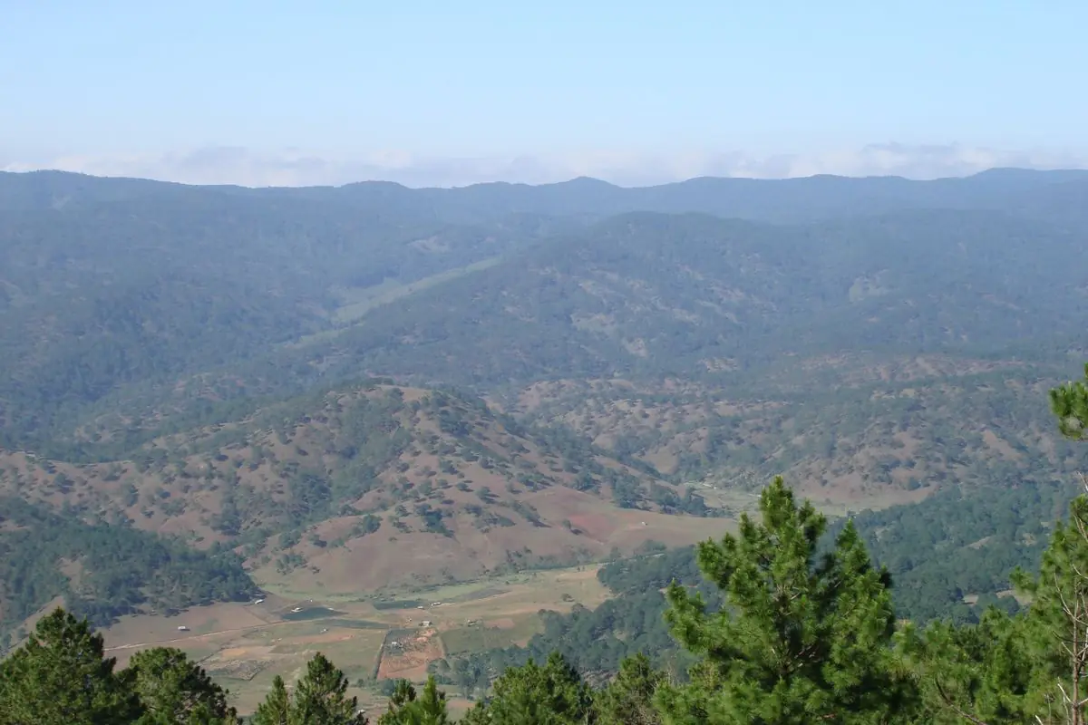
The higher terrain is more open, and on clear days you can see the mountain ranges around Langbiang.
You do not need to spend a long time at the summit.
A stop of around 20-30 minutes is usually enough to rest, eat a snack, and take photographs during a one-day hiking itinerary.
Descending is not necessarily easier than climbing.
After several hours on the trail, your thigh muscles may be tired, your balance less precise, and slippery sections harder to negotiate.
Leave enough daylight and energy for the return journey.
Can you hike Langbiang independently? Do you need a guide?
You can organise your own transport from Da Lat, prepare your equipment, and contact a trekking operator directly.
But travelling independently to Langbiang does not automatically mean you are allowed to enter the forest trail to Nui Ba Peak without a guide.
This is the most important access issue to check before your trip.
Langbiang hiking access has changed in the past
In October 2024, the Langbiang trekking route reopened after a period of maintenance.
At that time, the tourist area required hikers to purchase tickets, travel with a local guide, follow designated paths, and avoid leaving the official route.
The rules at the time also included a hiking entry window from 7:00 AM to 1:00 PM and restrictions during rainy weather.
Some travel companies continue to advertise Langbiang trekking programmes.
However, an advertised tour is not, by itself, proof that a particular trail is authorised to operate on your chosen date.
What should you check before booking?
Contact the tourist area management, national park, or trekking operator and ask:
- Is the route to Nui Ba Peak at 2,167 metres currently accepting hikers?
- Does the itinerary pass through forest managed by Bidoup-Nui Ba National Park?
- Does the operator have the necessary approval to bring visitors onto the route?
- Will a guide accompany the group for the entire hike?
- What happens if rain or an access closure prevents the trip from going ahead?
You can contact Dalattourist at +84 98 116 6088 for information about the tourist area.
Bidoup-Nui Ba National Park can be reached at +84 263 3502 005.
Do not look for an unofficial forest entrance if the main hiking route is closed.
Older independent trekking guides can also be misleading because access arrangements and regulations have changed.
Do international visitors need an English-speaking guide?
If you are visiting Vietnam and want to hike to the 2,167-metre summit, choose an English-speaking guide working with an operator authorised to use the route.
Useful search terms include Langbiang Peak Hiking, Langbiang Summit Trekking, and Nui Ba Peak 2167m.
One question worth sending to the operator is:
"Does the hike reach Nui Ba Peak at 2,167 metres, or only Radar Hill?"
That single question can prevent you from booking a sightseeing trip when you actually want a proper mountain hike.
Also request written confirmation of the walking distance, pick-up time, group size, included services, and weather cancellation policy.
Langbiang Mountain entrance fees and trekking costs in 2026
Standard sightseeing prices at the tourist area in 2026 are:
| Ticket type | 2026 price |
|---|---|
| Adult entrance ticket | 50,000 VND per person |
| Child entrance ticket | 25,000 VND per person |
| Tourist vehicle to Radar Hill | 120,000 VND per passenger |
The tourist area's visiting hours are 7:30 AM to 5:00 PM.
The vehicle journey to Radar Hill covers approximately 6 km.
Vehicles generally depart with six passengers. If there are fewer people waiting, ask whether you can charter the vehicle instead.

These prices apply to the tourist area and Radar Hill vehicle service.
They are not a comprehensive price list for guided hiking to Nui Ba Peak.
How much does a guided Langbiang trek cost?
A Langbiang Mountain hiking tour covering approximately 14 km in one day, with an English-speaking guide, costs about 540,000-1,215,000 VND per person, depending on group size.
The per-person price drops as the group grows:
| Group size | Price per person |
|---|---|
| 2 people | 1,215,000 VND |
| 3-4 people | 1,080,000 VND |
| 5-6 people | 945,000 VND |
| 7-8 people | 756,000 VND |
| 9 or more people | 540,000 VND |
At these prices, the package includes return transport, an English-speaking guide, entrance tickets, and drinking water.
Lunch is not included in the package price.
These are tour operator prices, not a standard trekking tariff set by Langbiang Tourist Area.
Before paying, confirm that the specific route is approved to operate on your intended date and that all promised services will be available.
Is independent travel much cheaper?
If you only want to visit Radar Hill, travelling independently is usually a straightforward way to control costs.
You arrange your own transport, buy the entrance ticket, and use the tourist vehicle if needed.
For Nui Ba Peak, a larger part of the cost comes from the guide, transport, and organisation of the hike.
Do not try to save money by entering a restricted forest route without the required guide.
Joining a group may reduce the per-person tour price.
However, a large group is not necessarily better if everyone has very different fitness levels. The slowest participant often determines the group's overall pace.
How to get from Da Lat to Langbiang Mountain
From Da Lat Market or the Xuan Huong Lake area, the journey to Langbiang Tourist Area generally takes around 25-40 minutes by road under normal traffic conditions.
There are three main options worth considering.
By motorbike
A motorbike suits travellers who are comfortable riding in Da Lat, have the appropriate driving licence, and want flexibility.
From the Da Lat Market area, head towards Phan Dinh Phung Street, continue via Xo Viet Nghe Tinh, and follow the Dankia route towards Langbiang.
Check the current map and road signs as you approach the tourist area.
The public road to the mountain entrance is different from the restricted tourist vehicle road to Radar Hill.
Park your motorbike in an authorised parking area at the foot of the mountain. Do not assume you can ride a rented motorbike along the tourist vehicle route.
After a long hike, your legs may be tired.
Think about whether you will still be comfortable riding back through winding roads, especially if rain or fog develops.
International travellers should also check that their licence and any required international driving permit are valid for the motorcycle they intend to use in Vietnam.
If you are not properly licensed or are uncomfortable riding on mountain roads, take a taxi or use the tour operator's transport instead.
By taxi or private car
A taxi is a convenient choice for groups of three or four, families, and travellers who do not want to ride a motorbike.
Ask the driver to take you to Langbiang Tourist Area at 305 Langbiang Road.
Before leaving the car, agree on a return pick-up location or keep the driver's contact details.
If your hiking tour already includes hotel transfers, there is no reason to pay separately for a taxi to the mountain.
Ask the operator whether they collect guests directly from their accommodation or use a central meeting point.
By public bus
The Da Lat-Lac Duong bus connection is another option to investigate if keeping transport costs down is important.
However, departure times, boarding points, and final stops can change.
Do not assume that the first morning bus will reach the tourist area in time for your hiking group's departure.
Confirm your tour meeting time first, then check whether a bus is practical.
For first-time hikers, a tour with transport included is usually simpler.
What is the best time of year to hike Langbiang?
November to April is generally the more favourable period for trekking around Da Lat because there are more days with relatively dry conditions.
From May to October, rainfall becomes more frequent.
Forest soil can become slippery, visibility may deteriorate, and the authorities may need to assess risks such as falling trees or landslides before allowing visitors onto a trail.
Even so, travelling during the dry season does not guarantee a rain-free hiking day.
Wind, thick fog, and occasional rain can still affect the mountain.
Dry season: better for hiking Nui Ba Peak
Choose a day without significant adverse weather warnings.
Start in the morning and keep a backup day available if you are spending several days in Da Lat.
From November into the early months of the year, mornings and higher elevations can feel cold.
Bring a wind-resistant jacket, but dress in layers so you can remove clothing when climbing makes you warm.
Do not choose your clothing solely according to the temperature in central Da Lat.
Higher on the mountain, wind and moisture can make conditions feel considerably colder.
Rainy season: consider Radar Hill instead
If there has been prolonged rain, do not insist on trekking simply because you booked the activity in advance.
You may be able to switch to a Radar Hill visit by tourist vehicle, provided that service is still operating safely.
Alternatively, choose an attraction in central Da Lat.
Heavy rain, thunderstorms, or very dense fog are not conditions in which you should continue into the forest.
Follow the management's decision if a trail is closed, even if you have already travelled to the mountain entrance.
What time should you start hiking?
A morning meeting time around 7:30-8:00 AM is sensible when it matches the schedule approved by your operator.
The later you start, the less flexibility you have if the descent takes longer than expected.
How difficult is Langbiang Mountain? Who should hike it?
The usual Langbiang trekking itineraries do not require technical rock climbing, but they still involve a long walk with sustained uphill and downhill sections.
A first-time hiker with good general fitness may be comfortable on a suitable guided programme.
Preparation matters, though. This is not simply a leisurely walk through a pine forest.
First-time hikers
Think about whether you can comfortably walk for several hours and climb repeated flights of stairs before booking.
A practical preparation routine includes brisk walking, stair climbing, and getting used to the shoes you intend to wear.
People who walk regularly often maintain a steadier pace than those who rarely exercise but try to move quickly from the beginning.
If you have never hiked in the mountains, ask the operator about the trail length, gradients, and options for turning back.
Having a guide does not automatically make a strenuous hike suitable for everyone.
Families with young children
For most families with small children, Radar Hill is a more practical choice than hiking all the way to Nui Ba Peak.
Children may be enthusiastic during the first kilometre, but maintaining that pace for several hours is another matter.
The descent can become particularly difficult if a child is already exhausted.
Radar Hill still offers viewpoints and family photographs without requiring a full day of mountain trekking.
Older travellers
Age alone does not determine whether someone can hike.
General health, regular physical activity, balance, and experience walking on steep ground are more relevant.
However, Radar Hill is usually a better option for travellers who do not exercise regularly or who find long walks and uneven surfaces uncomfortable.
Reaching 2,167 metres does not need to be a compulsory part of visiting Da Lat.
What should you pack for a Langbiang hike?
For a one-day hike, use a small, comfortable backpack and take only what you need.
An unnecessarily heavy backpack makes the steeper sections much harder.
Shoes and clothing
Choose shoes with good grip, a secure fit, and enough comfort for several hours of walking.
Low-cut hiking shoes or trail shoes may be suitable, depending on the route conditions.
Avoid wearing brand-new shoes you have never tested, slippery sandals, or casual fashion shoes with flat soles.
Flexible long trousers can help protect your legs from scratches when walking past low vegetation.
Dress in layers, with an outer layer suitable for wind and rain.
Avoid starting in very heavy clothing. You will warm up quickly once the uphill walking begins.
Water and food
For many adults, around 1.5-2 litres of water is a reasonable starting point for a day hike, adjusted for weather, individual needs, and the operator's advice.
Carry simple foods such as bread, bananas, nuts, or energy bars.
Ask whether lunch and drinking water are included before packing your own supplies.
Rather than drinking a large amount of water at once and pushing on, take regular smaller drinks during the hike.
Other essentials
A sensible day-hiking checklist includes:
- A lightweight raincoat and wind-resistant jacket.
- A fully charged phone and power bank.
- Any personal medication you regularly need.
- A waterproof pouch for your phone and documents.
- A hat, sunscreen, and suitable insect repellent.
- A small bag for carrying out your rubbish.
- Some cash and your guide's contact information.
Downloading an offline map may be useful as a reference.
However, do not treat a phone map as a substitute for an authorised guide. Mobile coverage may be unreliable in parts of the forest, and digital trails may not reflect current access restrictions.
Common mistakes to avoid when hiking Langbiang
Confusing a Radar Hill Jeep trip with the 2,167m hike
This is probably the most common misunderstanding.
If a tour only says "Langbiang summit" without identifying the elevation, ask for clarification.
A Radar Hill excursion can be enjoyable, but it is not a Nui Ba Peak hike.
Assuming every trail on Google Maps is open
Digital maps may continue to display forest trails even when they are closed or restricted.
Current information from the tourist area and national park management takes priority over a route saved on your phone.
Planning for the ascent but forgetting the descent
Reaching the summit at midday does not mean the activity is finished.
You still have to descend, return to the collection point, and travel back to Da Lat.
Do not estimate your completion time based only on the speed of experienced hiking groups.
Carrying too much equipment
A backpack filled with unnecessary spare clothes, camera equipment, and excessive food will tire you out.
For a day hike, prioritise equipment needed for safety, weather protection, drinking, and eating.
Leave unnecessary items at your hotel.
Leaving the group for photographs
Langbiang has attractive pine forests, open slopes, and small tracks that may look inviting.
Not all of those tracks lead back to the main route.
Tell your guide when you want to stop for photographs, and remain within the permitted area.
Continuing when the weather deteriorates
Wet forest trails can significantly slow a hiking group.
Dense fog may also make signs and junctions harder to identify.
Should you hike Nui Ba Peak or take the vehicle to Radar Hill?
These are two different ways to experience Langbiang.
| Comparison | Nui Ba Peak hike (2,167m) | Radar Hill vehicle trip (1,950m) |
|---|---|---|
| Main experience | Forest trekking and mountain summit | Sightseeing, viewpoints, and photography |
| Recommended time | Full day | Around 2-3 hours |
| Fitness required | Stamina and ability to handle slopes | Minimal physical effort |
| Distance | Approximately 11-14 km for the complete hike | About 6 km by road each way |
| Guide | Confirm guide requirements and authorised access | No trekking guide required |
| Cost | Depends on operator and group size | Entrance fee and tourist vehicle ticket |
| Weather impact | Can prevent trekking altogether | Services can also be restricted in poor weather |
If you want to walk through pine forests, climb steep trails, and stand beside the 2,167-metre summit marker, choose a properly organised trekking trip once authorised access has been confirmed.
If you mainly want panoramic views, a few good photographs, and a return to central Da Lat before lunch, Radar Hill is the more practical choice.
There is no need to add a demanding hike simply to make your holiday itinerary look busier.
Which Langbiang experience should you choose?
If you have a full day, good fitness, and want to reach the actual 2,167-metre summit, choose a guided trek after confirming that the route is authorised to operate. If you are travelling with young children, have limited time, or mainly want mountain views, the tourist vehicle to Radar Hill is the simpler choice.
FAQ
How many kilometres is the Langbiang Mountain hike?
The distance depends on the trekking itinerary. Full-day trekking programmes usually cover about 11-14 km. These figures cover the full hiking journey rather than just the ascent. The 6 km tourist vehicle road to Radar Hill does not lead to Nui Ba Peak.
How long does it take to hike Langbiang Mountain?
Allow approximately 6-8 hours for the hike, including climbing, descending, and rest stops. Travel from central Da Lat to the mountain entrance takes another 25-40 minutes each way under typical conditions. If you only visit Radar Hill by tourist vehicle, 2-3 hours is usually enough.
Can I hike Langbiang independently without a guide?
You can travel independently to the mountain entrance, but you should not enter the forest trail to Nui Ba Peak without confirming current access rules. The route reopened and was then suspended again in late 2024 because of landslide risks and falling trees. Before you go, ask the tourist area or Bidoup-Nui Ba National Park whether the trail is accepting hikers, and only enter it with a guide.
How much are Langbiang Mountain tickets in 2026?
In 2026, the adult entrance fee is 50,000 VND, the child entrance fee is 25,000 VND, and a tourist vehicle ticket to Radar Hill costs 120,000 VND per passenger. Guided trekking to Nui Ba Peak may involve additional charges for a guide, transport, and other services. A full-day trek with an English-speaking guide costs about 540,000-1,215,000 VND per person, depending on group size.
Can a Jeep take you to the 2,167m Langbiang summit?
No. Tourist vehicles travel approximately 6 km from the mountain entrance to Radar Hill, at 1,950 metres. Nui Ba Peak, at 2,167 metres, is the destination of a separate hiking route. The Jeep journey does not reach the highest summit.